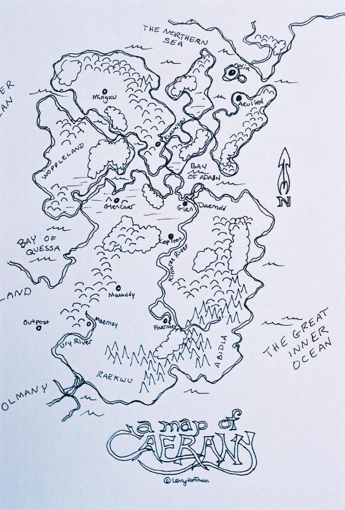
Maps
This map shows greater Caerany, including the villages of Manaddy, Maerney and Faernney, as well as the Lonsan fort Outpost. These villages however play little to no importance until several decades later.
This closeup of the above map shows the area in question:
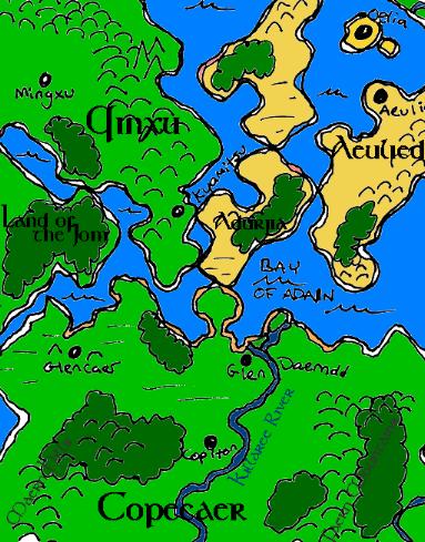
- The Southern most continental region is the Copecaer, presently a princedom within the Lonsan Empire.
- There are four major islands in greater Caerany. Starting from the west, the first is Jomland (aka Woppleland or Land of the Jom). It is inhabited by semi-nomadic group called the Jom, a people called Wopples. They are unimportant to Caeric politics at this time.
- The next island is Qinxu, home to the towns of Mingxu and Kyamitsu, home of the Qi Tribe.
- The middle island is Adurjia, a wasteland, home mainly to Durgans (hence the name: land of the Durg = Adurjia). Although the Durg only spend part of their yearly migration in Adurjia, it is only here that you find rare Durg architectural structures.
- The last is Aeulied, home to the farming village of the same name. Aeulied is the breadbasket of the tiny island town of Oelia, on its northern shore.
Home
|